I'd like to see the resulting map - at least of that doesn't interfere with your plot. Or if a variant of same.
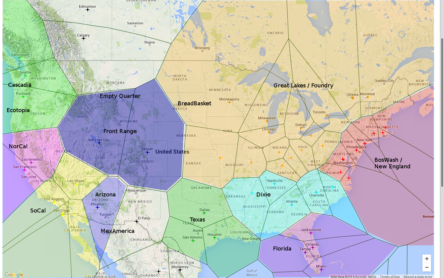
It turns out that in order to make this Voronoi library work, I have to reduce the cities' weights so much that they make effectively no difference to the overall figure. But if you'd like a map, then after toying a bit with https://en.wikipedia.org/wiki/File:MapofEmergingUSMegaregions.png and https://en.wikipedia.org/wiki/File:Ninenations.PNG , my un-weighted Voronoi map of North America looks a little like http://www.datapacrat.com/temp/NorAm%20Regions.jpg . Needs some further tweaking, but might be food for thought. :)


Notes for future OT posters:
1. Please add the 'open_thread' tag.
2. Check if there is an active Open Thread before posting a new one. (Immediately before; refresh the list-of-threads page before posting.)
3. Open Threads should be posted in Discussion, and not Main.
4. Open Threads should start on Monday, and end on Sunday.